


How to Create a Custom Mapbox Map with Zoom in to Satellite View for Tableau
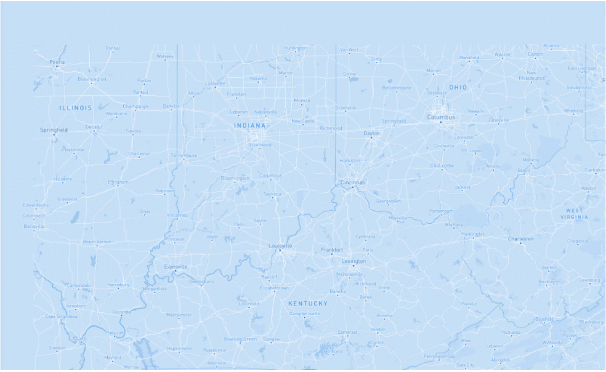
One popular request when creating maps in Tableau is the ability to be able to swap between a regular map view and a satellite view. Tableau offers six different map layers; Light, Normal, Dark, Street, Outdoors and Satellite. With these newer map layers, it's possible to have a Satellite view as a default map in Tableau, but there is no functionality at the moment to swap these map layers.
Read more: Data + Science (dataplusscience.com)